Filters
Filters
- Masters
- Europa
- Zweden
- Natuurwetenschappenprogramma's
- Geo-informatica
Sorteer op
4 Geo-informatica Masters Degree Programs in Zweden
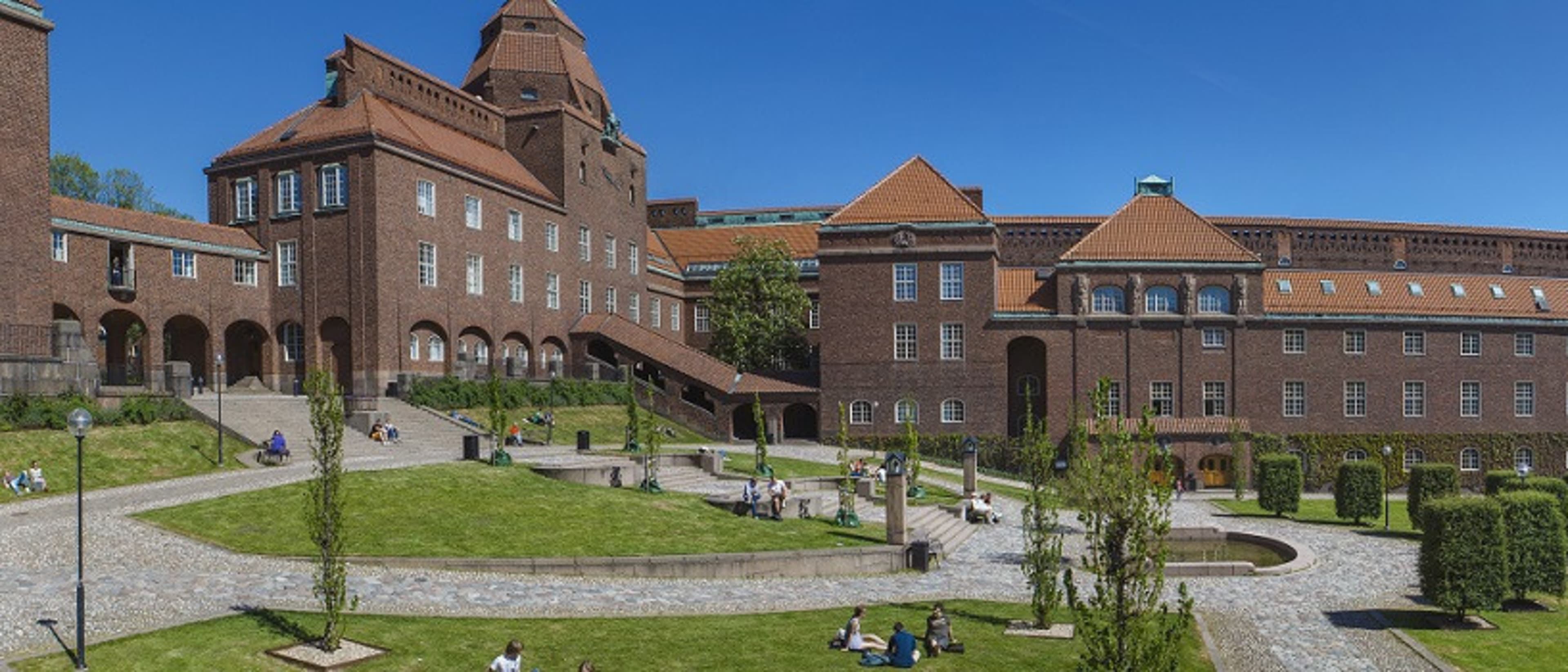

KTH Royal Institute of Technology
MSc Transport and Geoinformation Technology
- Stockholm, Zweden
MSc (Master of Science)
Full time
2 jaren
Op de campus
Engels
Functional and environment-friendly transport systems are vital in a sustainable society. Students gain expertise in transport and geoinformation technology and learn how to plan, build and maintain advanced transport systems. Graduates blend practical data collection and modelling skills with an interdisciplinary understanding of transport and geoinformation that lead to job opportunities in various sectors.


Lund University
MSc in Geomatics
- Lund, Zweden
MSc (Master of Science)
Full time
2 jaren
Op de campus
Engels
Geomatics involves the acquisition, management and analysis of phenomena with a spatial reference. The spatial analysis finds applications in many areas, such as health, environment management, natural resources assessment, urban planning, geology, archaeology and agronomy. This programme aims to provide you with knowledge in spatial analysis focusing mainly on environmental applications. Models and theories for understanding the Earth’s climate and ecosystems are integrated with knowledge for collecting environmental information using remote sensing, storing the information in databases and theories behind Geographical Information Systems (GIS).
De beste studieprogramma's voor jou
Beantwoord een paar vragen en we matchen je met studieprogramma's!
Lund University
MSc in Geographical Information Systems
- Lund, Zweden
MSc (Master of Science)
Full time, Deeltijd
2 jaren
Afstand leren
Engels
This is an internet-based distance learning programme in which you learn how to analyse and model spatial phenomena, focusing on natural resources, using GIS (Geographical Information Systems) and remote sensing and environmental modelling. You can adopt the learning methods that work best for you and choose your own pace of study for any given semester. The programme offers hands-on training using up-to-date software and affords the opportunity to achieve deep theoretical understanding, as well as excellent technical skills, of e.g. spatial programming, SDI, database management, cartography and environmental modelling. The programme is taught by world-class faculties in Sweden (Lund University) and the Netherlands (University of Twente).


Stockholm University
Master in Geomatica met Remote Sensing en GIS
- Stockholm, Zweden
MSc (Master of Science)
Full time
2 jaren
Op de campus
Engels
Deze masteropleiding ontwikkelt de vaardigheden van studenten op verschillende gebieden, zoals teledetectie, GIS, methoden voor modellering, verkennende data-analyse en visualisatie met een focus op aard- en milieuwetenschappen. Landschapsverandering, milieumonitoring en -kartering, evenals milieukwesties in het algemeen, staan hoog op de dagelijkse politieke agenda.
Populaire graad
Populaire studievorm
Learn more about Geo-informatica Masters degree programs in Zweden
Toekomstige of huidige ingenieurs, geïnteresseerd in de landmeetkundige technologie die wordt gebruikt in toepassingen zoals cartografie, zijn misschien geïnteresseerd in het volgen van de studie van geo-informatica. Als een tak van engineering, kan geo-informatica gericht zijn op de technologie, verzameling, behoud en analyse van geografie.
Zweden (Sverige) is de grootste van de Scandinavische landen, met een bevolking van ongeveer 9,5 miljoen. Het grenst aan Noorwegen en Finland en is verbonden met Denemarken via de brug van de Öresund (Öresundsbron). Zweden heeft een sterke traditie van een open, maar toch discreet land.