Filters
Filters
- Voorbereidend
- Certificaat
- Natuurwetenschappenprogramma's
- Geo-informatica
Sorteer op
2 Geo-informatica Certificaat Degree Programs
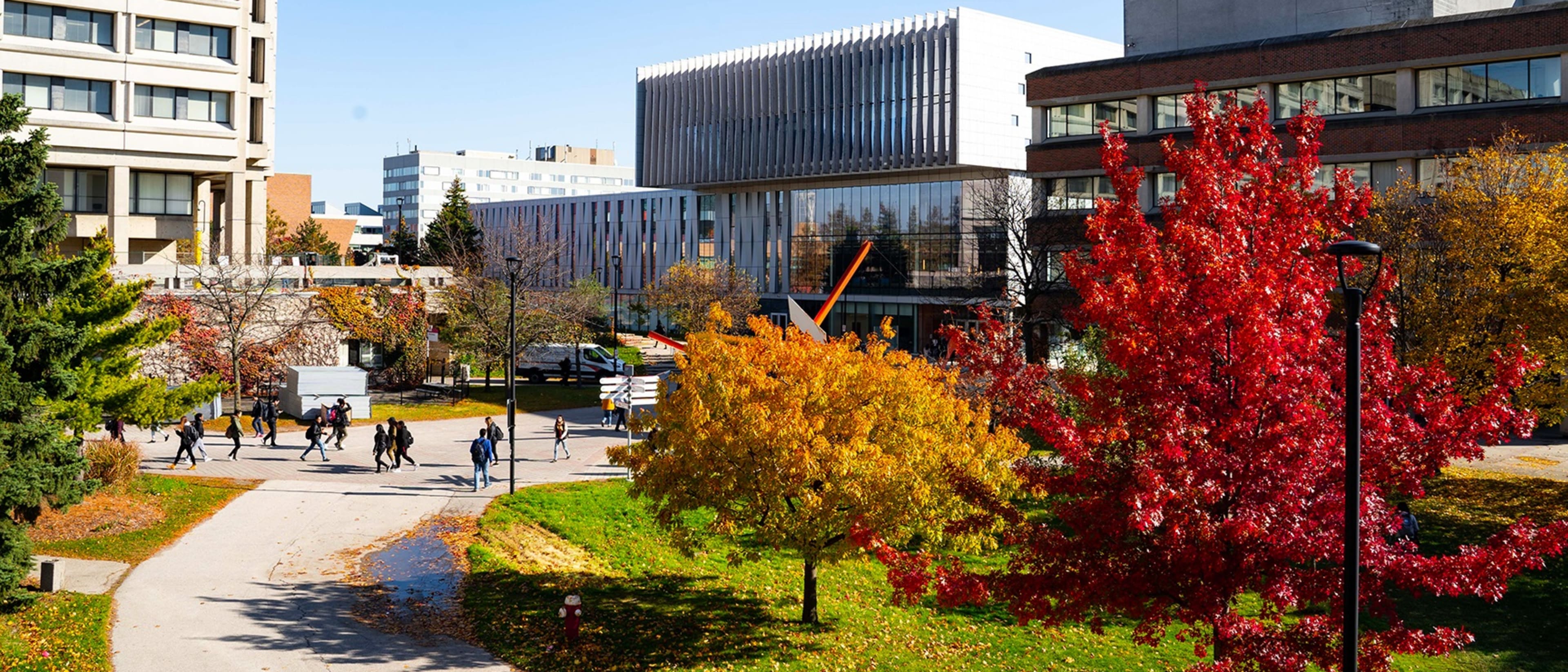

Faculty of Environmental & Urban Change | YORK UNIVERSITY
Certificate in Geomatics: Geographic Information Systems (GIS) and Remote Sensing
- Toronto, Canada
Certificaat
Full time, Deeltijd
1 jaar
Op de campus
Engels
Geomatics encompasses the logic, art, science, and technology involved in collecting, managing, and communicating geographically-referenced information in its many forms. The Geomatics Certificate combines the study and immersion within the major developments experienced in geographical information science, geographic information systems, remote sensing, photogrammetry, and global positioning systems by linking theories and science to experiences that intersect hardware, software, equipment, algorithms, and techniques.


Saskatchewan Polytechnic
Certificate in Geographic Information Science
- Prince Albert, Canada
Certificaat
Full time
32 weken
Blended, Op de campus
Engels
Geographic information science (GIS) is a relatively new field that uses computer technology to link maps to digital data. Resource managers and urban planners rely on the expertise of GIS technicians when they are making critical decisions about asset management, environmental assessment, development, and harvest. GIS skills are applicable in any organization that maintains assets in the environment.
De beste studieprogramma's voor jou
Beantwoord een paar vragen en we matchen je met studieprogramma's!
Learn more about Geo-informatica Certificaat degree programs
Toekomstige of huidige ingenieurs, geïnteresseerd in de landmeetkundige technologie die wordt gebruikt in toepassingen zoals cartografie, zijn misschien geïnteresseerd in het volgen van de studie van geo-informatica. Als een tak van engineering, kan geo-informatica gericht zijn op de technologie, verzameling, behoud en analyse van geografie.